Northumberland - the Final Route

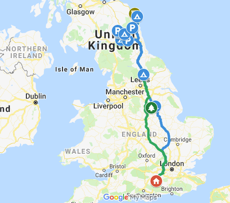
I wanted to conclude the holiday with a track of our route. It proved slightly more difficult than I expected as I cannot download, but only view the route plotted by the tracker installed in Vincent. Therefore I needed to
1) plot the route in Google Maps,
2) create a link to the route by copying the sharing link,
3) paste the sharing link into a product called GPS Visualizer (excellent!!) which creates a GPX file
4) download the GPX file and import this as a layer in Google my Maps
5) edit the icons and route colours
and this is what you end up with. There are pictures on some of the icons too!